 Jane Bunn - Jane's Weather
Spring preview for some as weather changes
A moderate cold front continues to slowly move through the southwest third of WA with moderate to heavy falls via thunderstorms along the coast and...
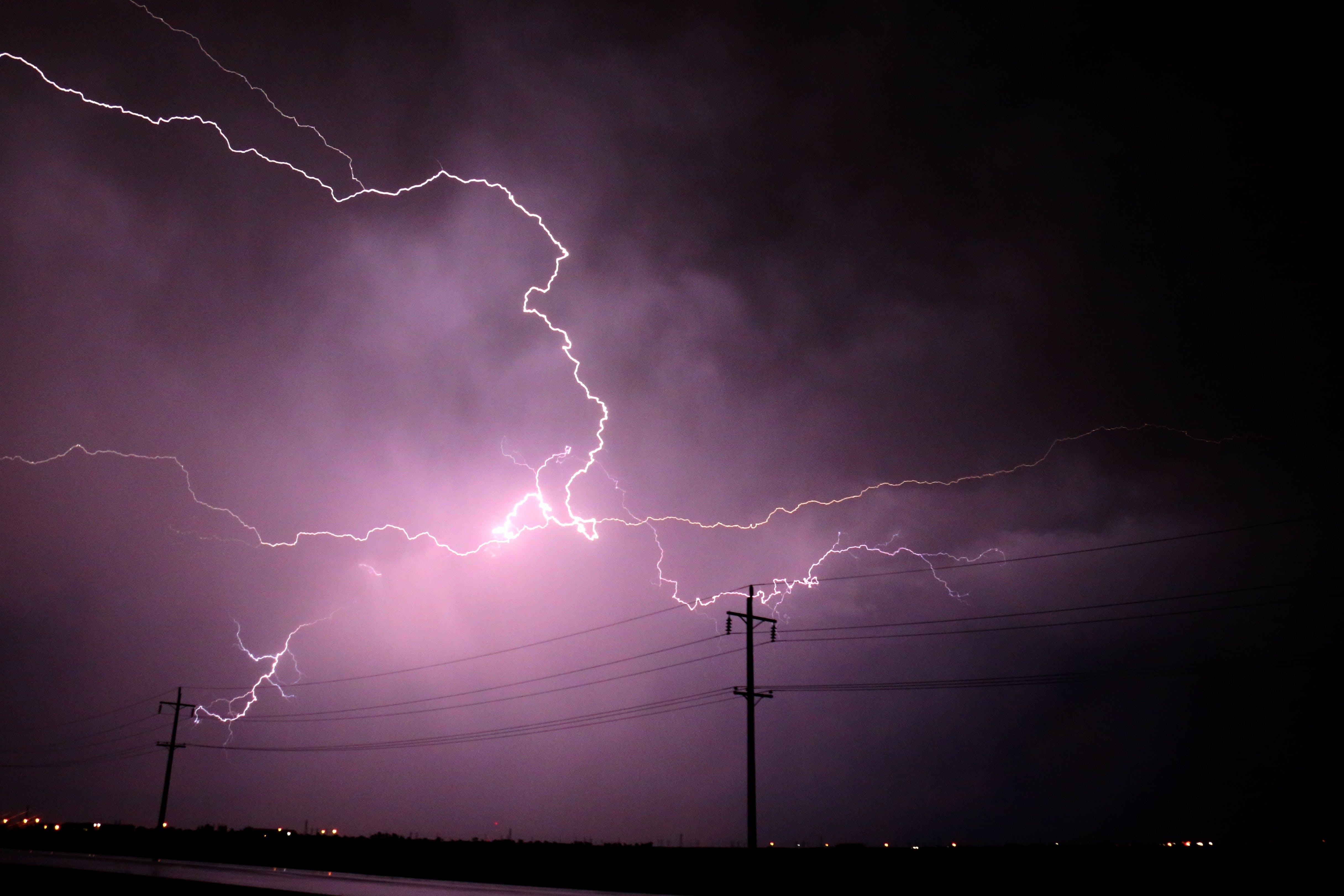
A cut-off low is tracking across south-eastern Australia, bringing widespread rain and locally heavy thunderstorms to its south and east. As the low moves off the NSW coast, it introduces widespread heavy rain for those to its south.
 Above: Synoptic map on Wednesday morning showing the cut-off low over the south-east.
We’ve had an extended period with troughs producing hit-and-miss showers and thunderstorms in the eastern states. If you were directly under a storm, the rain was heavy, otherwise you missed out.
A cut-off low shakes this up, as everyone in its path gets a soak.
That low tracked across southern NSW on Wednesday, with widespread falls of 20 to 60mm in its path. Embedded in this were hit-and-miss heavy thunderstorms delivering huge but localised falls (85mm in Swan Hill and 135mm in Deniliquin).
When a low moves just off the coast, the beast gets a specialised feed of moisture from the Tasman Sea, ensuring the widespread rain intensifies. This resulted in widespread falls of 100 to 200mm in south-east NSW later Tuesday and into Wednesday, with some falls over 200mm (225mm in Jervis Bay, 227mm in Pt Perpendicular, and around 350mm up on the nearby ranges).
That low isn’t finished yet. Southeast VIC is still in its path.
Here is the guidance day by day:
THURSDAY
Intense widespread rain for Gippsland VIC, with lighter falls spreading west into Melbourne and north into south-east NSW. Hit-and-miss showers and storms for the interior into western QLD.
 Above: Potential rainfall for Thursday, 30th November.
FRIDAY
The low continues to bring rain to Gippsland and nearby areas, but the intensity reduces. Meanwhile, QLD has another outbreak of hit-and-miss showers and heavy storms, centred over central QLD.
 Above: Potential rainfall for Friday, 1st December.
SATURDAY
The low continues to bring lighter intensity rain to Gippsland and nearby areas (and may continue into Sunday before finally moving away). Showers and storms continue in QLD, mainly over the east, extending through eastern NSW.

Above: Potential rainfall for Saturday, 2nd December.
See what’s most likely hour by hour in your area at Jane’s Weather. Our forecasts consolidate all the different guidance into one handy consensus forecast for your property.

A moderate cold front continues to slowly move through the southwest third of WA with moderate to heavy falls via thunderstorms along the coast and...

A quiet weather pattern continues for much of the country this week with ridging in place over much of the continent and only the northern tip of...

It is a quiet weather week across the country, with a new large high moving into place, this leading to settled conditions this weekend and next...