 Karl Lijnders
Frosts intensify and spring heat looms as El Nino signals build
Another quiet week of weather is on the way. The coverage and strength of the frontal weather is expected to be more of a feature for those exposed...
It is my great privilege to be able to talk weather with you all on a weekly basis.
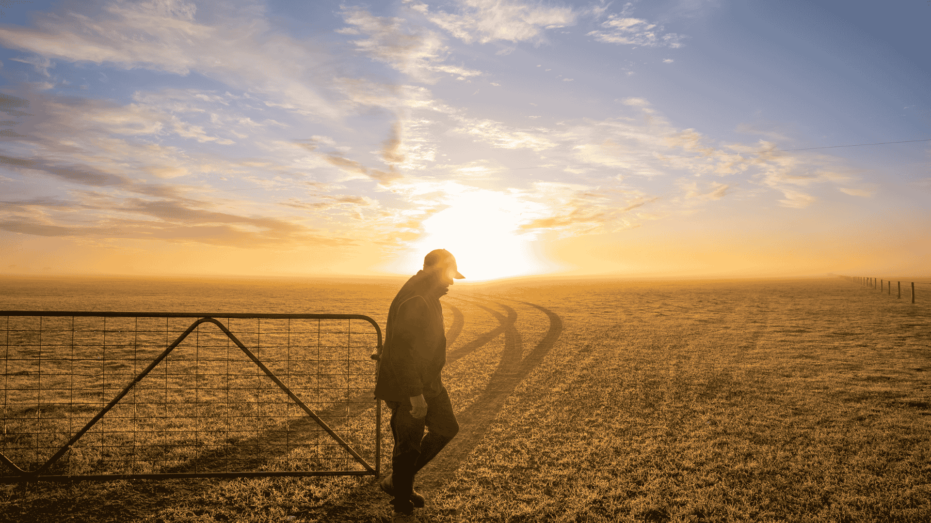
This is going to be a very challenging year for a range of factors well known, and of course the weather and climate is going to compound this, with a drought on the horizon for most of the country. It's going to be hard to find districts across the country that don’t deal with drought this year.
But how bad does it get and how long does it last? As much as we all want certainty, there is still some uncertainty to these points, however, it will become clearer as we get to mid year.
I have spoken at length about the predictability barrier related to the climate driver forecasts during this time of year at Weather Matters over the years, and how it is imperative to apply context when looking at data during this time of year.
Armchair interpretation can easily lead to misunderstanding, particularly when the predictability barrier is not well understood. This is further complicated by adjustments to longer-range forecasts associated with ENSO and IOD outlooks during April to June, especially when assessing the intensity and duration of events. You can get a lot more via Weather Matters on this.
Let’s look at what is happening in the short and medium range, this ties into what is happening in the longer range weather setting. The drier weather signal is already unfolding. Ridging has become more established over the nation during the past fortnight and this sinking air motion, combined with the drier airmass being dredged up from the Southern Ocean, is resulting in a drier and stable weather pattern for Easter.
The winners this week when it comes to rainfall looks to be the areas east of Kalgoorlie to Esperance with a trough during the long weekend, clearing south from Monday. The trade winds bring showers to the FNQ coast and eastern Top End and a few showers for the eastern coast of QLD and NSW in the onshore flow.

Next week there may be a wave of frontal weather that could spice up the wet weather signal for western TAS and southern and mountain VIC, perhaps southeast SA.
Elsewhere, drier and more settled as ridging holds firm. Also, watching for a burst of high heat about the southeast inland, eastern SA, VIC and inland NSW from Tuesday or Wednesday, maximums could get into the mid to possibly high 30s.

Drier weather forecasts with above average temperatures will be a feature that continues to dominate most of your forecasts for April this year. It is a taste of what is to continue for the remainder of 2026 and into 2027.
The slow walk into the drought developing has begun. My seasonal outlooks through to 2027 now available at Weather Matters.

Karl Lijnders is the founder of Weather Matters, which provides short, medium and longer-range weather forecasts, updated daily, with a focus on Australian ag and what the weather and climate means to you.
Subscribe to a Yearly Plan and use the discount code at checkout - APLUS - to save $200 on a Yearly Plan!

Another quiet week of weather is on the way. The coverage and strength of the frontal weather is expected to be more of a feature for those exposed...

The weather pattern is generally stable and with more high pressure on the horizon, this is indicative of the El Niño that is starting to influence...

A moderate cold front continues to slowly move through the southwest third of WA with moderate to heavy falls via thunderstorms along the coast and...