 Karl Lijnders
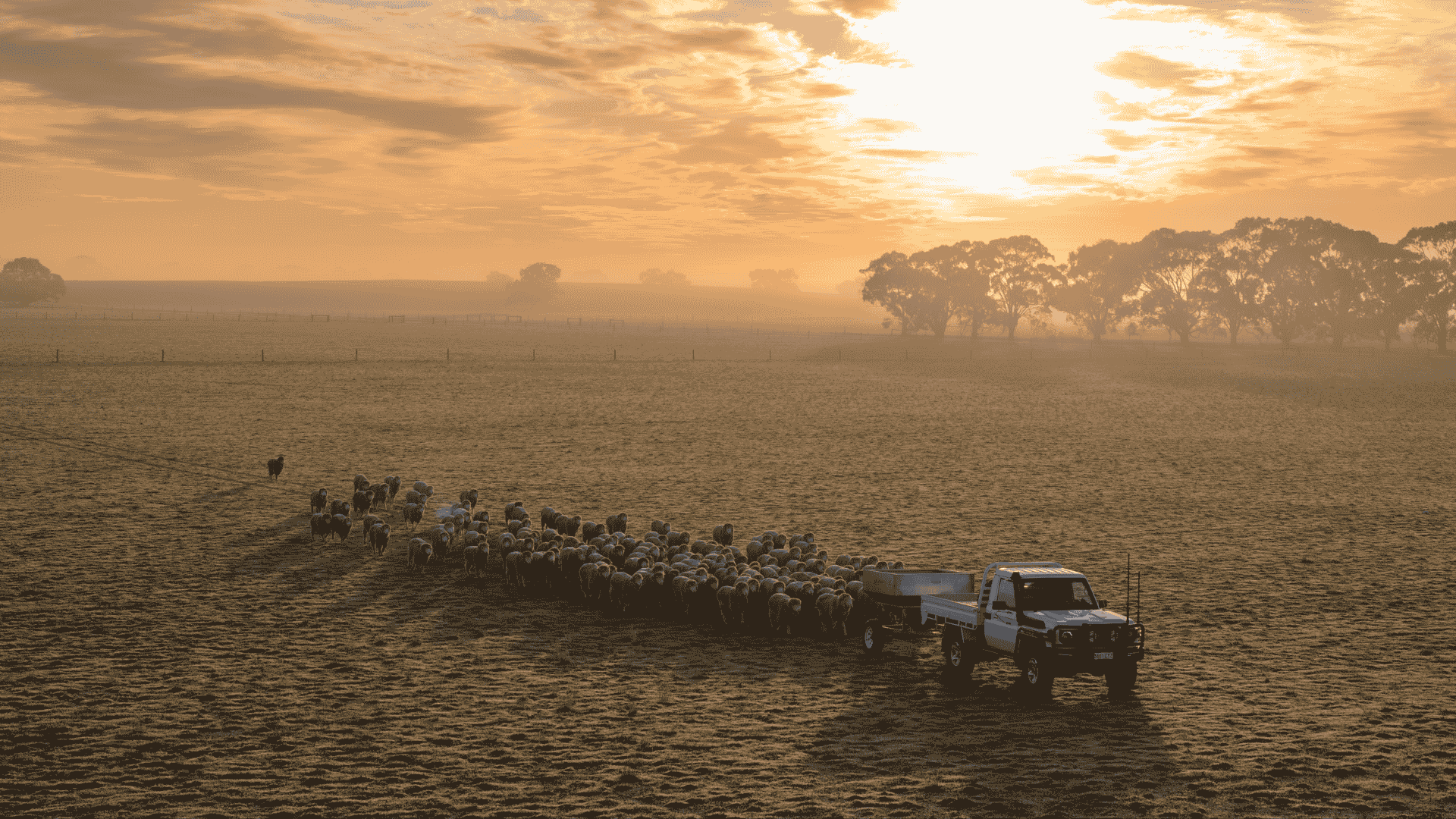
Spring preview for some as weather changes
A moderate cold front continues to slowly move through the southwest third of WA with moderate to heavy falls via thunderstorms along the coast and...
From one blocking pattern to another blocking pattern next week, the drier weather conditions continue to expand in the drought zones.
Some of you across Southern Australia expected to see at least the chance of showers and thunderstorms over the next three to four days with a trough and low pressure system rolling through the southeast.
The winners with that system related to rainfall appears to be pockets of southern ag South Australia, with thunderstorms producing the best of that rainfall. The coverage spreading into Victoria and southern NSW/ACT on Saturday night through Sunday with again, patchy falls. It appears that areas to the north of Dubbo will be seeing limited rainfall with the trough collapsing as it heads towards the east coast, impacted by the blocking high over New Zealand.
A new blocking ridge is likely to develop south from WA over the weekend and meander through to the Bight from early next week. This will be leading to a dry 7-10 days for WA after the soupy thundery week. The next chance of rainfall is not expected until we get to the second week of May here.
In advance of the new large high, the southeast and southern states will be noticeably cooler with limited rainfall, overnight and day time temperatures are forecast to be much lower after another long stretch of above average temperatures.
Those needing rainfall in the drought impacted areas of NSW and QLD, watch trends in the upper levels as there may be a chance (although low) for a rain band to form in advance of a cold pool being projected north from south of SA and into the interior. That is the only feature that could break the long dry forecast that remains.
For now, it is more likely the forecast remains dry for inland areas over the coming 1-2 weeks.
Hopefully better news on that next week.


Karl Lijnders is the founder of Weather Matters, which provides short, medium and longer-range weather forecasts, updated daily, with a focus on Australian ag and what the weather and climate means to you.
Subscribe to a Yearly Plan and use the discount code at checkout - APLUS - to save $200 on a Yearly Plan!

A moderate cold front continues to slowly move through the southwest third of WA with moderate to heavy falls via thunderstorms along the coast and...

A quiet weather pattern continues for much of the country this week with ridging in place over much of the continent and only the northern tip of...

It is a quiet weather week across the country, with a new large high moving into place, this leading to settled conditions this weekend and next...