 Karl Lijnders
We're likely at peak soil moisture across continent
The weather pattern is generally stable and with more high pressure on the horizon, this is indicative of the El Niño that is starting to influence...
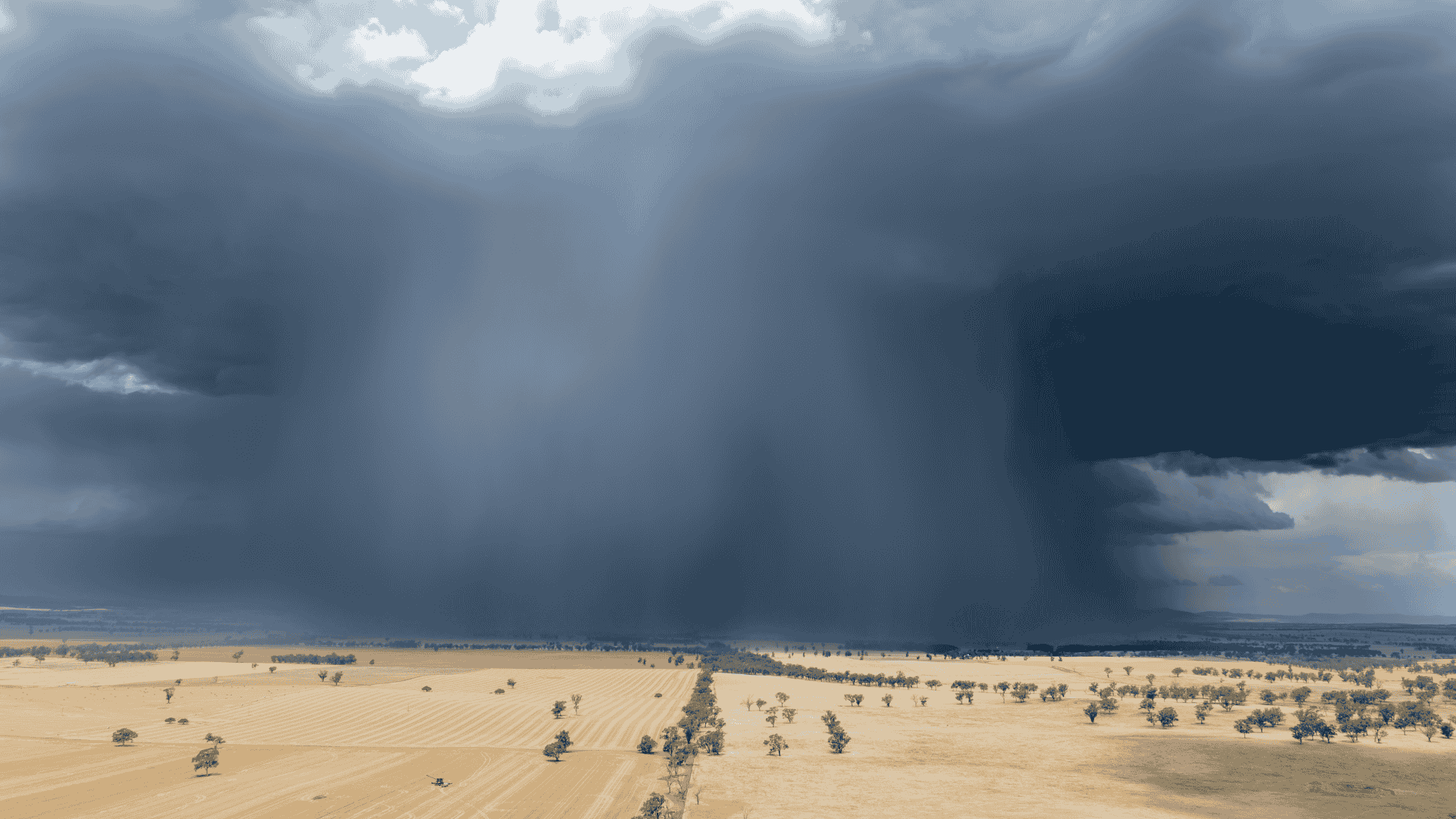
Great to see a nice full tank of moisture for much of SA and southern WA following a significant week of rainfall with a slow moving low pressure system. That low pressure system and associated rain band has died a slow death over the past 24hrs now located over inland QLD and NSW/ACT with generally light to moderate rainfall rates, that rainfall decays tonight and through Saturday.
But what are the chances of follow up rainfall of the same magnitude!? This looks to be relatively low. A ridge is expected to redevelop and strengthen through the next week in the upper levels, this snuffing out rainfall chances. With the absence of the strong Southern Ocean westerly wind belt thanks to a positive SAM, this is leading to a suppression of typical frontal rain bands in the outlook period. May have to wait until late next weekend for a substantial front to impact WA.
The absence of frontal weather also increasing the temperatures across the mainland again, after 20 year June highs during the week. With the ridge responsible for that warming trend through the day time, frosts are also possible for vast areas of inland SA, VIC, NSW/ACT during the early part of next week.
Finally, on El Niño being declared this week by many agencies across the globe, this is not surprising. I want to ensure you understand that the impacts of El Niño being declared does not magically flick a switch. There is an atmospheric delay of around 6 weeks, so we will start to feel those impacts late July onward. For now, that may be in the back of the mind of many that have received decent rainfall during May and June, though if you have been on the land long enough, you know how quickly conditions can turn.
Drought is still a high chance for most of eastern and northern Australia from Spring which spreads west and south later Spring into Summer. I have attached a forecast product at Weather Matters which shows that signal for severe to exceptional drought is widespread, but as you know, conditions vary from location to another as drought develops.
I will see you next week.

Karl Lijnders is the founder of Weather Matters, which provides short, medium and longer-range weather forecasts, updated daily, with a focus on Australian ag and what the weather and climate means to you.
Subscribe to a Yearly Plan and use the discount code at checkout - APLUS - to save $200 on a Yearly Plan!

The weather pattern is generally stable and with more high pressure on the horizon, this is indicative of the El Niño that is starting to influence...

A moderate cold front continues to slowly move through the southwest third of WA with moderate to heavy falls via thunderstorms along the coast and...

A quiet weather pattern continues for much of the country this week with ridging in place over much of the continent and only the northern tip of...