 Karl Lijnders
Settled conditions this week, drier outlook continues to build
It is a quiet weather week across the country, with a new large high moving into place, this leading to settled conditions this weekend and next...
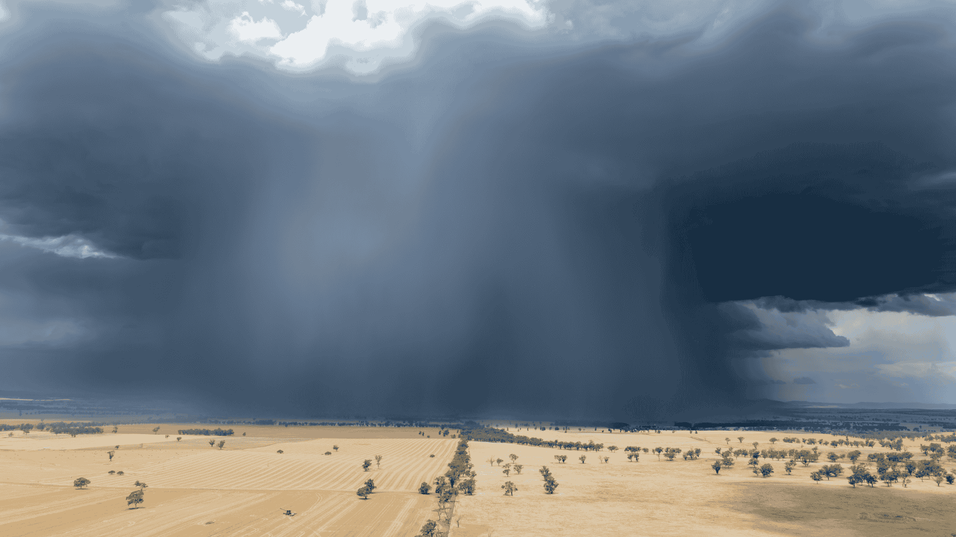
The broad blocking regime has dominated this week leading to the rinse and repeat weather yet again for much of the country without much variation. But as we head into the weekend, scattered rainfall is breaking out along a trough and wave of low pressure moving across the Bight, leading to showers and storms finally filling in over areas that have been dry for most of this week.
But the scaling of the blocking pattern over the eastern parts of the country will determine the rainfall spread and scaling, and there is a lot of divergence in the modelling, and that is causing a lot of confusion for the eastern and southern ag areas.
So the rule of thumb is to look at the rainfall forecasts, and take the lower number in the the range that is offered to you in forecasts. We are moving into a drier year, and so rainfall is likely to be on the lighter end most often than not. Of course, there will be a few surprises and if you are one of those areas, well done.
Likely to see better rainfall spreading out over the following areas:
Southern ag SA seeing better rainfall chances Friday night through Saturday before easing.
Corner Country and broadly, Channel Country QLD stretching back across the Barkly, Saturday through Sunday before easing Monday.
Northeast NSW and southeast inland QLD with a trough from Sunday into Monday.
The rest of the eastern areas of the country through to Tasmania, seeing patchier rainfall coverage and likely heaviest in areas exposed to the northwest to northerly flow ahead and with the trough.
Next week, it is back to blocking high pressure forming, this highlighting that as the climate drivers shift into a drier setting, the rainfall frequency drops off month to month through 2026. So this renders most of WA in a drier week to 10 day period, following a week of below average rainfall.
This is all ahead of El Niño kicking into gear and the other factors such as a potential positive IOD and cooler waters around Australia, supporting not only a drier weather picture, but a more stable weather picture nationally.
Good luck if you are forecast rain this weekend, I will see you next week.


Karl Lijnders is the founder of Weather Matters, which provides short, medium and longer-range weather forecasts, updated daily, with a focus on Australian ag and what the weather and climate means to you.
Subscribe to a Yearly Plan and use the discount code at checkout - APLUS - to save $200 on a Yearly Plan!

It is a quiet weather week across the country, with a new large high moving into place, this leading to settled conditions this weekend and next...

Another well timed upper low and trough working through a warm and moist airmass triggered by a positive SAM phase continues to headline the week of...
Great to see a nice full tank of moisture for much of SA and southern WA following a significant week of rainfall with a slow moving low pressure...