 Jane Bunn - Jane's Weather
Settled conditions this week, drier outlook continues to build
It is a quiet weather week across the country, with a new large high moving into place, this leading to settled conditions this weekend and next...

As we end the week we have the remains of a cold outbreak over the southeast, and the next major weather system brewing off the west coast.

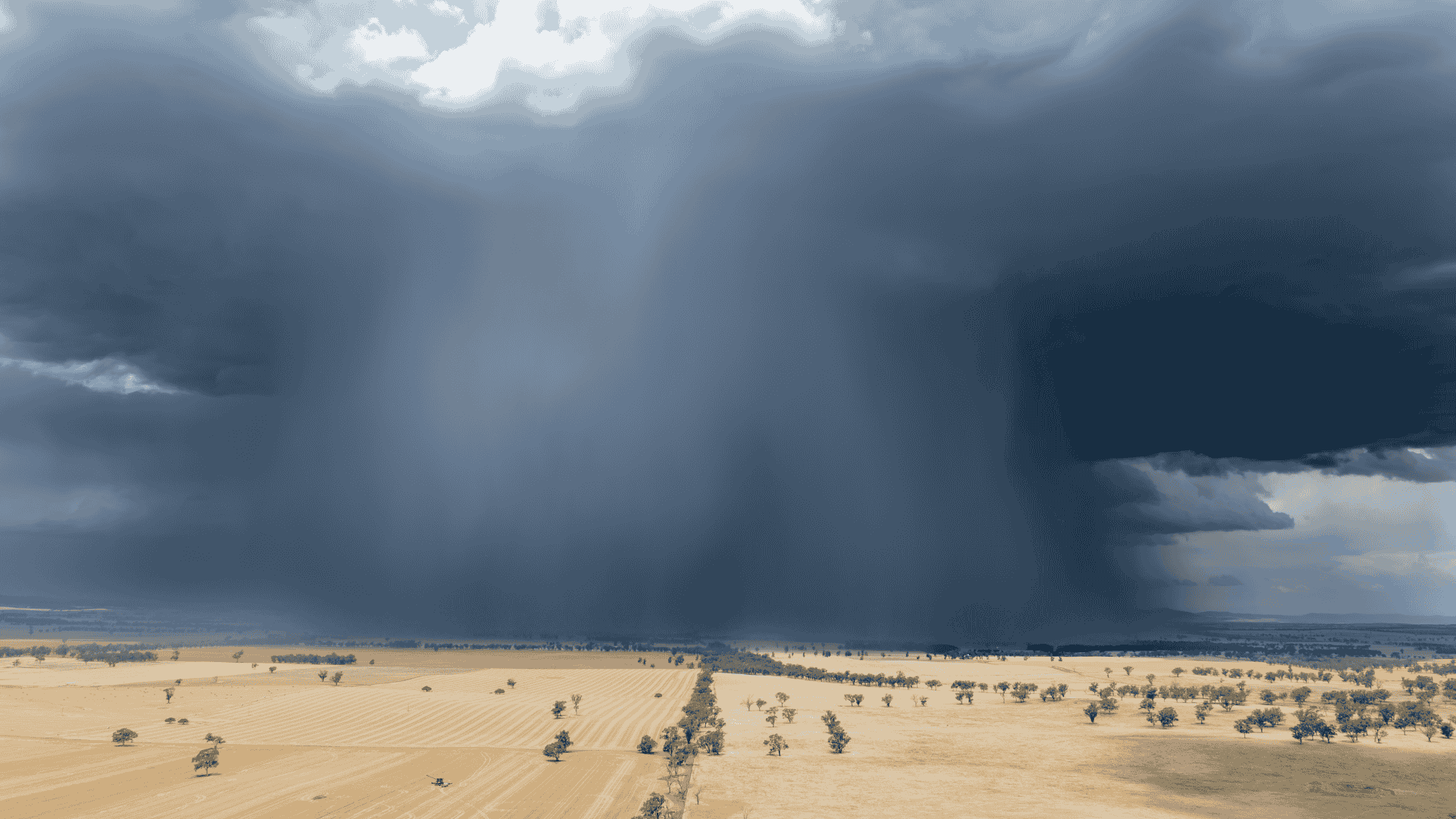
Satellite and radar on Friday morning.
Let's talk about temperature first of all.
High pressure is moving into the southeast. Winds travel anticlockwise around a high, so when the centre of the high moves to your east, you get any heat that has built up over the north or interior of the country. We have had a significant build up of heat, and this will be our first major surge of significantly above average temperatures for the season.
It starts in the west and slowly moves eastwards, across the weekend.
It doesn't last forever though, a trough brings an end to this burst of above average - so it is the key area between the high and the trough that feels it.
Even when the cool change has moved in, see how we're left with a huge area of heat over the north (by Sunday and Monday there is a pool of 'Very Hot' in the northwest.
Whenever winds turn northeasterly in the west, northerly in central parts, and northwesterly in the east, then that pool of heat will sweep on through, until the next trough/front brings the cool change.

A surge of heat moving from the west to the east, followed by a cold change.
Let's now talk about rain.
After the cool change moves through there will be a rainband.
It has a nice feed of tropical moisture from the Indian Ocean, and burst of energy coming up from the south to turn that moisture into wet weather.
The area that will see the most is actually likely to be over southeastern WA and western SA - that's just where it meets up best this time.
Then the rainband runs out of oomph as it crosses eastern SA and the southeast.
Western parts of Tasmania continue to see excessive rain in constant westerly airflow (no blocking highs this far south) - making up after such an extensive spell of drought.
A feed of moisture will come in from the northeast from about Tuesday, and that should meet up with a trough to produce a few days of hit and miss showers and storms to its east (Queensland and northeast NSW) mid to late next week. As always if you are under a storm it delivers more than this map shows.

Potential rainfall over the next week.
For this and more don't miss my video update, including outlooks as we go through October and beyond:

Jane’s Weather provides hyper local weather forecasting based on the consensus of all the weather models, using Machine Learning and AI to calibrate the forecast to conditions at your farm. We include updates on temperature, rain and wind, along with evapotranspiration for efficient water usage, frost risk, growing degree days and a detailed spraying forecast customised for any property in Australia.

It is a quiet weather week across the country, with a new large high moving into place, this leading to settled conditions this weekend and next...

Another well timed upper low and trough working through a warm and moist airmass triggered by a positive SAM phase continues to headline the week of...
Great to see a nice full tank of moisture for much of SA and southern WA following a significant week of rainfall with a slow moving low pressure...