 Karl Lijnders
Ridge rebuilds after a big rain week, with El Niño declared
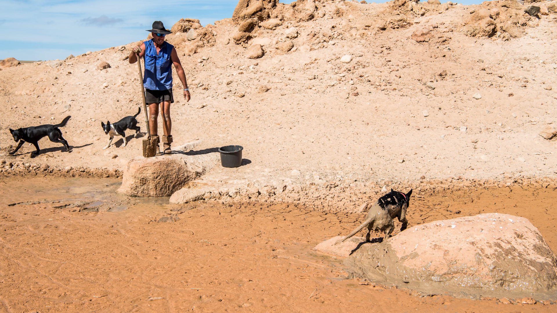
Great to see a nice full tank of moisture for much of SA and southern WA following a significant week of rainfall with a slow moving low pressure...
The seasonal transition continues across the nation with ridging becoming more dominant in the upper and lower levels and the drier airmass being drawn up from the Southern Ocean, bringing a much colder shift to the south and a taste of the dry season for the tropics later next week. So the impacts of the wet season about to come to an abrupt end.
While we have TC Maila likely to have modest impacts on rainfall for northeast Australia, the system is likely weakening as it approaches. Moisture largely stays over northern QLD, with again, uncertainty as to how far south that rainfall goes through QLD, I would be leaning to that staying north of Longreach for now. Everywhere else south from here, through NSW/ACT and into northern VIC, starting to feel the run of below average rainfall with drier air and the upper and surface based ridging.

The drier weather setting is likely to be the major feature of the medium range forecast taking us through the end of the month. The drier air being dredged up from the Southern Ocean via frontal weather passing into the Tasman Sea will pass through at intervals to support the drier air being draped over the nation. This will snuff out the high rainfall chances for much of the country.

For WA and SA, sitting closer to the ridging, while it is drier, it is not looking as cold with the winds more likely to be southeast to northeasterly at times. Frontal weather may graze southwest WA but bringing higher rainfall to the ag region, not expected at this time during the next 1-2 weeks.

Those looking for major northwest cloud bands, not expected to see a major northwest cloud bands during the next 1- 2 weeks.
Temperatures more variable for the southeast states with even the risk of early season frost for parts of VIC and southeast NSW and the ACT. Daytime temperatures will bounce around thanks to frontal weather. Seasonal for much of eastern and northern NSW and inland QLD and warmer weather expected out over inland WA but that warmer weather may return to parts of inland QLD and northern NSW later next week.
This is all in line with the longer range forecast which is tending acutely dry as we finish Autumn and across Winter where drought declaration is likely to feature for many areas.
Finally, lots of talk about Super El Niño later this year. There is no doubt we will have El Niño to deal with in the Pacific Ocean, but will this be joined by a positive IOD in Spring 2026. That would cause a stronger drier signal to develop than a Super El Niño alone.
I will see you next week with more.
Karl Lijnders is the founder of Weather Matters, which provides short, medium and longer-range weather forecasts, updated daily, with a focus on Australian ag and what the weather and climate means to you.
Subscribe to a Yearly Plan and use the discount code at checkout - APLUS - to save $200 on a Yearly Plan!
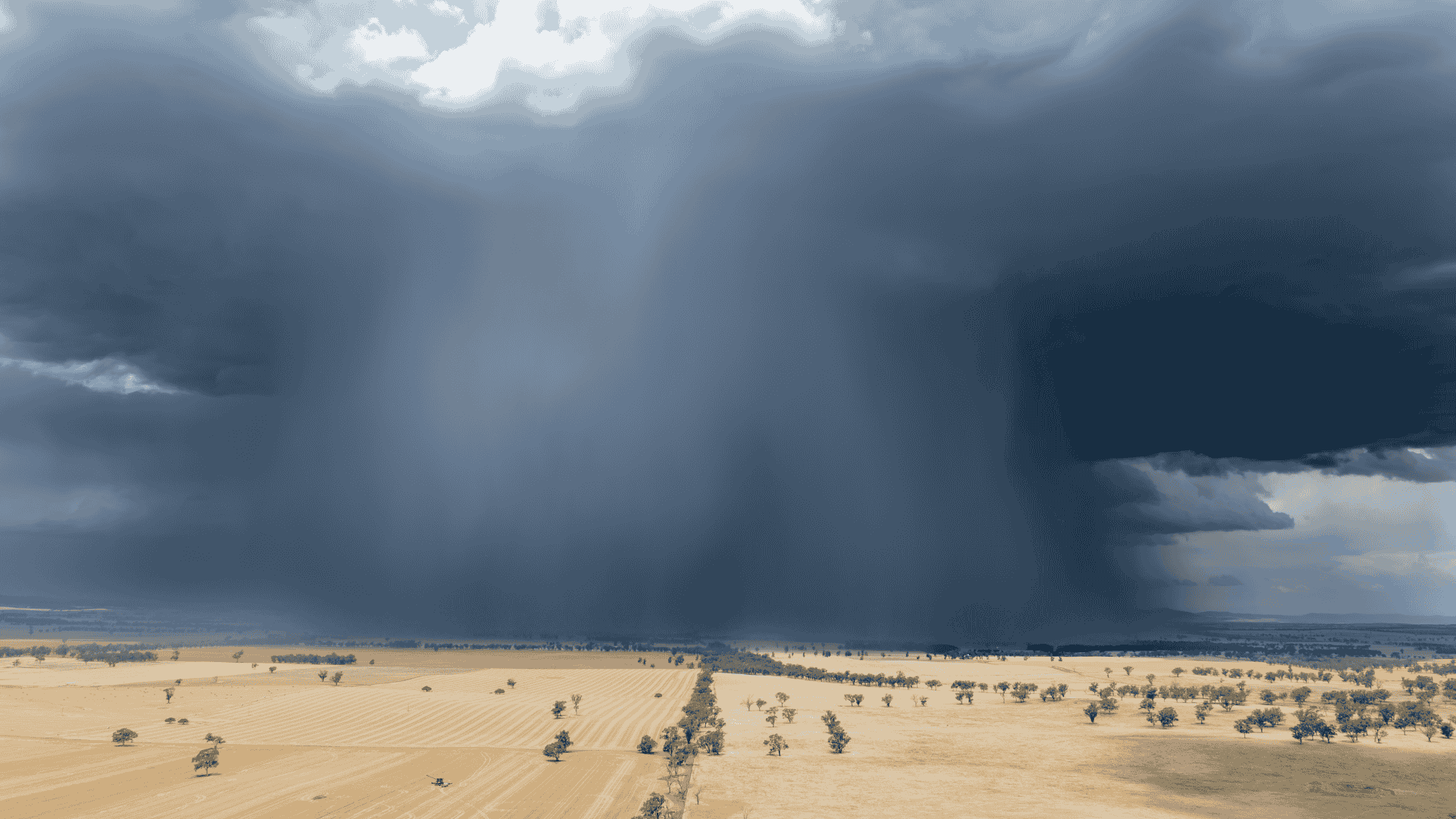
Great to see a nice full tank of moisture for much of SA and southern WA following a significant week of rainfall with a slow moving low pressure...
The Bureau of Meteorology (BOM) has this afternoon officially confirmed that the El Niño–Southern Oscillation (ENSO) is now in an El Niño phase - and...

A substantial cloud band has generated high levels of rainfall across WA, not unusual as some suggest for this time of year, with this being the...