 Jane Bunn - Jane's Weather
Settled conditions this week, drier outlook continues to build
It is a quiet weather week across the country, with a new large high moving into place, this leading to settled conditions this weekend and next...
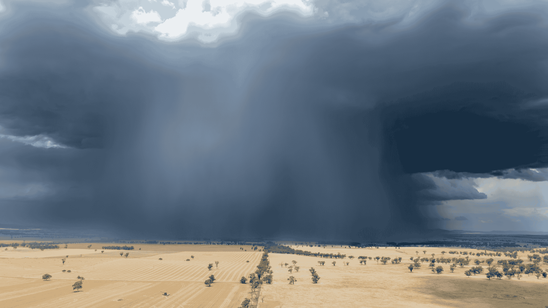
We’ve had stormy activity from the interior to the southwest for a few days now, but it’s on the move, and large parts of the east have the potential for a soak in the week ahead.
From Wednesday (15th) to Saturday (19th) the activity is mainly confined to the interior. Troughs in the east are weak, with localised showers and the odd storm, on the NSW coast and over southeast QLD.
Then the activity ramps up on Saturday over a large area of southeastern to central QLD as the next weather system gets going.
 Above: Potential rainfall from Wednesday 15th November to Saturday 18th November.
That’s just the first part… in the days that follow there should be widespread shower and storm activity through a large swathe of QLD and NSW, just reaching far eastern VIC.
From Sunday (19th) to at least Wednesday (22nd) a trough is likely to set up shop from the NT to southwestern QLD to western NSW to northeast VIC.
Anywhere to the east of that trough line is at risk of showers and thunderstorms. Northeast NSW and southeast QLD are likely to see the most activity, but any thunderstorm in that zone should deliver heavy rain to those directly underneath it.
 Above: Potential rainfall from Sunday 19th November to Wednesday 22nd November.
It’s important to remember that showers and thunderstorms are ‘hit and miss’ by nature. The map shows the overall area that can support thunderstorm development, but doesn’t indicate that every place within that zone will get ‘hit’.
Keep an eye on the guidance for this period to see how many weather models indicate the risk of activity in your area, and at which times of the day. Jane’s Weather makes this easy, by showing each weather model side by side so you can quickly see the full picture for your particular spot.
Here is the guidance for Toowoomba in QLD on Sunday and Monday. The four weather models show activity increasing on Sunday afternoon, and continuing through much of Monday. Sunday has only two of the four models showing rain for much of the time, so the confidence is lower, while all four models like rain for the majority of Monday, indicating higher confidence. You can also see the range of potential rainfall for each day (in the summary up the top).

The Consensus forecast from janesweather.com for Toowoomba, QLD
The coloured bars indicate potential rainfall for each hour of the day from all the different weather models that forecast here in Australia. The red ‘worm’ line shows the summary of all models, detailing temperature and weather conditions, while the grey arrows indicate the wind direction and speed.
Sign up for alerts at Jane’s Weather below to stay ahead of what is on its way.
Our notifications include the weather summary, rain, winds and comfort, evapotranspiration, frost risk, growing degree days and weather conducive to pests and diseases, tailored to any property in Australia.


It is a quiet weather week across the country, with a new large high moving into place, this leading to settled conditions this weekend and next...

Another well timed upper low and trough working through a warm and moist airmass triggered by a positive SAM phase continues to headline the week of...
Great to see a nice full tank of moisture for much of SA and southern WA following a significant week of rainfall with a slow moving low pressure...