 Jane Bunn - Jane's Weather
Settled conditions this week, drier outlook continues to build
It is a quiet weather week across the country, with a new large high moving into place, this leading to settled conditions this weekend and next...
Long-range modelling first signalled a switch in the Pacific Ocean late in 2022, that after three years of wet conditions with La Niña, indicated the second half of 2023 was likely to turn dry with El Niño.
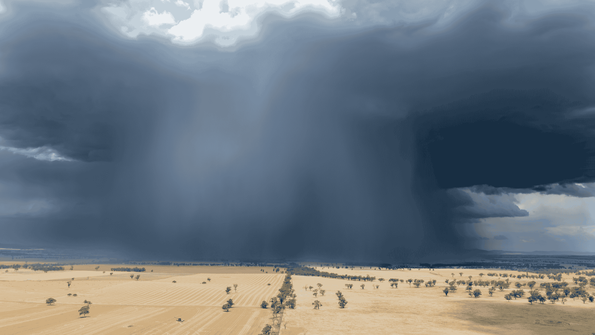
Other global organisations like NOAA and the WMO declared El Niño back in June 2023, but the more conservative BoM only made the announcement on Tuesday this week. BoM provided an observation - i.e. we are well and truly in it - rather than a forecast.
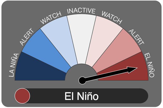 Above: El Niño has been declared for 2023.
What is EL Niño and why should I care?
In a nutshell, the “tap has been turned off” and we’ve lost our “protection from heat”.
The Pacific Ocean has an imbalance of water, with all the warmer-than-average water far away from Australia now located over central and eastern parts.
This encourages the winds to blow tropical moisture away from Australia, so that when our weather systems move through they don’t have as much moisture to convert into rain.
You can still get localised heavy rain in a thunderstorm, but the widespread soaking and flooding rain dries up.
Without that pool of moist air and cloud over Australia, we end up with a large area of the interior that bakes and heats up in the sun.
This pool of hot and dry air is ready to pounce whenever the weather pattern makes the winds blow in the right direction - i.e. a westerly in QLD and NSW, a north-westerly in VIC and TAS, a northerly in SA and a north-easterly in WA.
If the weather pattern stalls, then that leads to an extended period of hot and dry for that area.
If we can get temperatures more than 12C above average when it’s just beginning, what’s it going to be like in January?
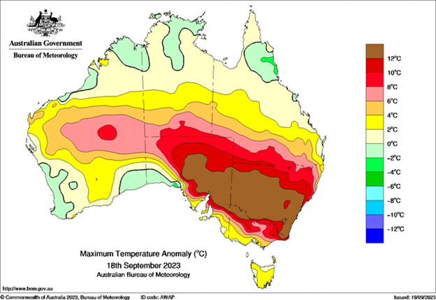 Above: On Monday there was a large part of south-east Australia more than 12C above average.
Overall, it is likely to be hotter and drier than average, but that doesn’t mean it is hot and dry all the time, especially if you are in the southern states.
Weather systems (cold fronts, troughs and lows) will continue to move through, and bring rain plus a return to colder temperatures.
However, the rain usually isn’t as heavy as it was in recent years and doesn’t extend as far inland as it once did, and there’s always the next warm to hot spell just around the corner, as soon as the next high moves in.
See what weather is most likely at your property, hour by hour for the next 10 days, along with our customisable insights highlighting the impacts on your operations, with our precise and actionable forecasts at Jane’s Weather.
Sign up for personalised alerts to stay ahead of what weather is on its way.
Our notifications include temperatures, rain and wind, along with evapotranspiration, frost risk, growing degree days and a spraying forecast, customised for any property in Australia.


It is a quiet weather week across the country, with a new large high moving into place, this leading to settled conditions this weekend and next...
Another well timed upper low and trough working through a warm and moist airmass triggered by a positive SAM phase continues to headline the week of...
Great to see a nice full tank of moisture for much of SA and southern WA following a significant week of rainfall with a slow moving low pressure...