 Jane Bunn - Jane's Weather


Settled conditions this week, drier outlook continues to build
It is a quiet weather week across the country, with a new large high moving into place, this leading to settled conditions this weekend and next...

Over the course of the next week we have three areas of focus in our weather: the southeast early in the stretch, the southwest with a few rain systems, and an out of season rain system for eastern Queensland, mainly in the north.Meanwhile, week two (beginning on Monday 23rd June) has a glimmer of hope for rain in the southeast.
And... the Indian Ocean Dipole is swiftly heading into Negative - sending moisture into the south from the Indian Ocean, and potentially breaking up the high pressure dominance so it can actually be turned into rain.
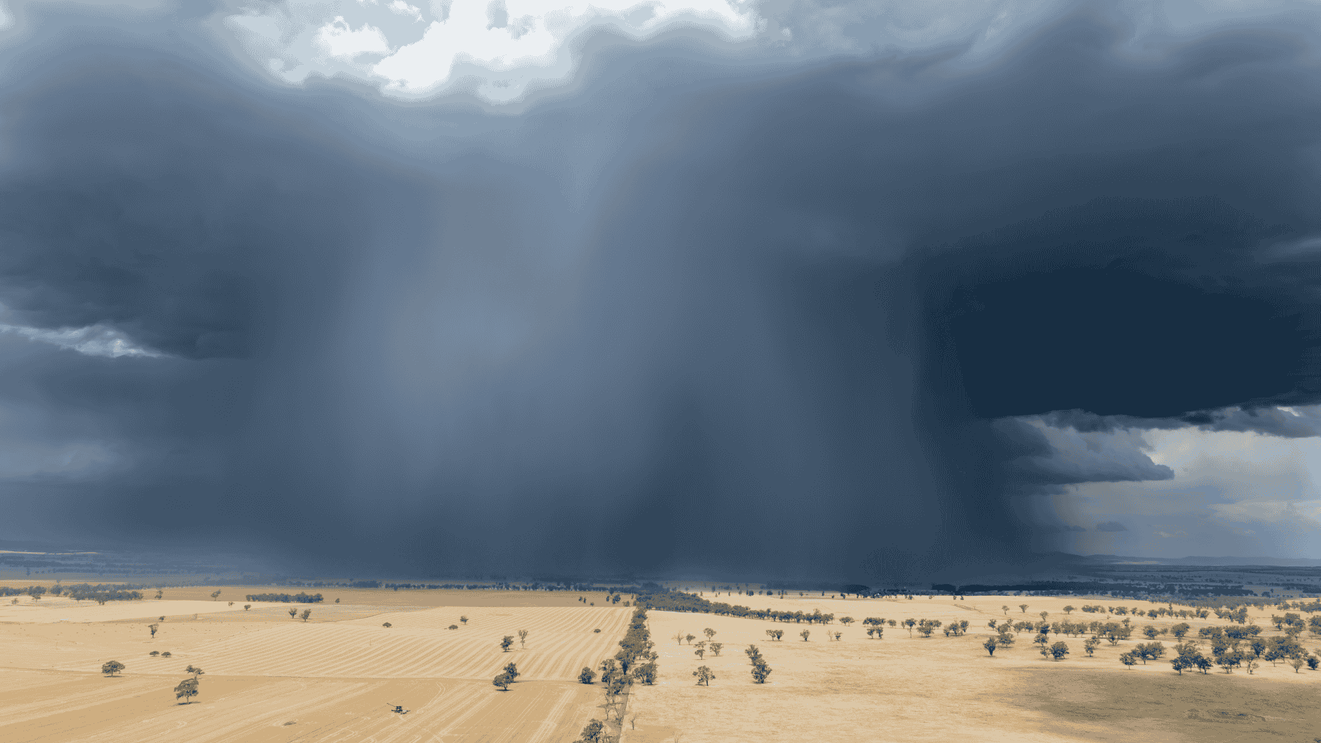
In the southeast we have a system crossing through on Saturday into Sunday. Southeastern SA does the best from this one, as it flops across the rest of the southeast delivering light falls.
The next one hits on Monday into Tuesday - better for southwestern to western facing parts of Victoria and Tasmania. That is code for 'if you are inland (or southeastern TAS) there won't be much'.
Neither of these are a repeat of the great long weekend rain system. There is no connection to tropical moisture and there isn't enough instability - and the systems move too fast.
It dries up later in the week, and the days should warm up.
A few systems are set to move through, strongest on Tuesday and again on Friday/Saturday next week.
These are likely to deliver 25 to 50 mm for a large part of the southwest, with even 10 to 20 mm extending well inland.
The frosty nights continue across the weekend. It was -5.1C in Oakey this morning, their coldest June morning since 2010.
Brisbane fell to 6.5C on Thursday morning, then it was even colder this morning. A chilly start on 5.2C (7 degrees below average). This is the coldest June morning since June 30th in 2014, and the coldest morning this early in the year since 2006.
It thaws out early next week as cloud arrives and acts like a blanket. Rain develops in the north on Monday and heads southwards.
The heaviest falls are for the northern coastline (over 50mm of out of season rain), while it is much lighter in the southeast.
Potential rainfall over the next week
As we move into week two, beginning on Monday 23rd June, there is a glimmer of hope for the southeast. The euro model is showing the potential for average to above average rain in the southeast.
Is this a sign that the Indian Ocean is starting to help us out, both with moisture and by breaking up the high pressure?
Potential rainfall pattern in week 2 (beginning Monday 23 June) from the Euro model
The Indian Ocean Index is swiftly falling, as we go from Positive to a projected Negative dipole.
A dipole is an imbalance - and our weather works to correct these - actively sending the built up of tropical moisture towards Australia.
That is just one part of the rain equation, we also need that moisture to feed into low pressure to turn it into rain.
A Positive Indian Ocean Dipole (IOD) encourages a Positive Southern Annular Mode (SAM) too - and these result in high pressure dominating southern Australia.
A Negative IOD can work to remove this dominance - potentially letting the moisture actually connect with instability.
In short, we'll have the moisture, and we have a better chance of that being turned into rain for southern Australia.
The Indian Ocean Dipole (IOD) is swiftly heading into Negative
Here is the full update, perfect if you have 20 minutes to spare:

It is a quiet weather week across the country, with a new large high moving into place, this leading to settled conditions this weekend and next...

Another well timed upper low and trough working through a warm and moist airmass triggered by a positive SAM phase continues to headline the week of...
Great to see a nice full tank of moisture for much of SA and southern WA following a significant week of rainfall with a slow moving low pressure...