 Jane Bunn - Jane's Weather
Spring preview for some as weather changes
A moderate cold front continues to slowly move through the southwest third of WA with moderate to heavy falls via thunderstorms along the coast and...
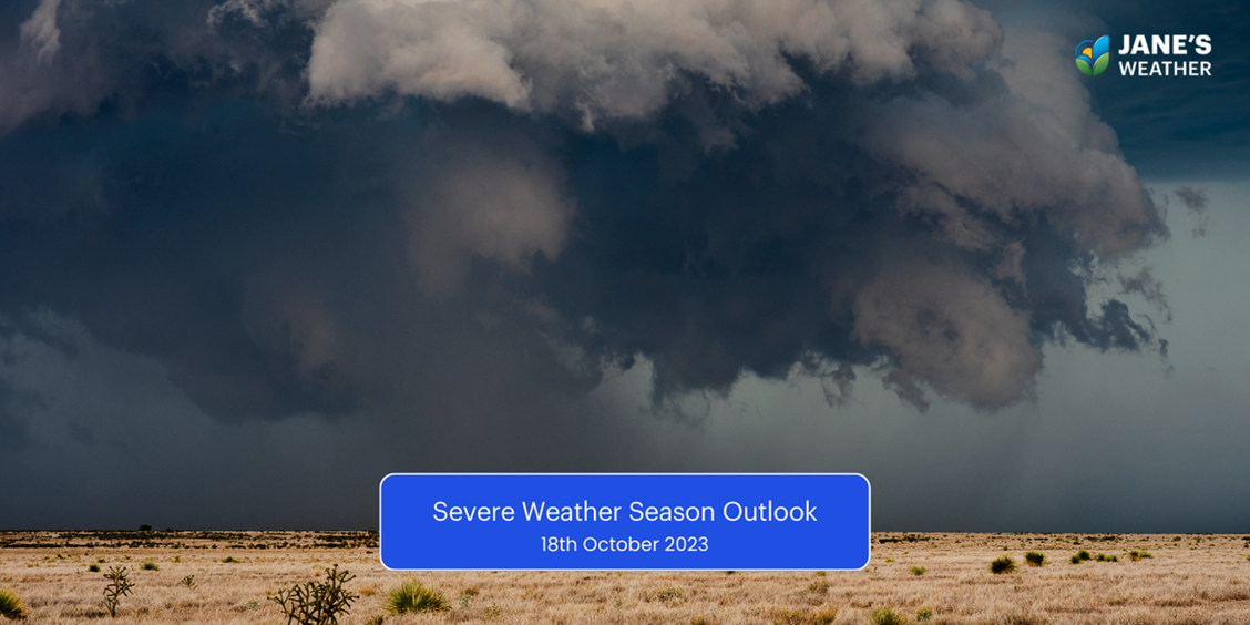
We’ve entered peak severe weather season in Australia, and here’s a quick run down of the risks we face over the next seven months.
Australia will be influenced by El Nino in the Pacific Ocean over the summer, while 2023 was a positive Indian Ocean Dipole year.
In a nutshell, both of these situations limit the amount of tropical moisture available to Australia. The tap is ‘turned off’ and the environment is very different to the past three summers.
This means troughs and cold fronts deliver less widespread rain than they used to, as they’ve lost a major source of fuel.
However:
individual showers and storms within these weather systems can bring locally heavy rain
and cut off low pressure systems have their own fuel, and can still deliver major rainfall for those in their path.
Increased risk of heatwaves
Less moisture ensures less clouds and rain over the interior. A pool of heat built up in September (earlier and stronger than in recent years) and now whenever we have winds blowing from the interior, we heat up.
This leads to hotter than average temperatures overall, and while the southern states are always on a temperature rollercoaster, this means we see more hotter days and less cooler ones.
Look out for a high to your east. That brings hot winds - and if this pattern can stall, then we have an extended period of hot days and hot nights.
When the high is to your west, we have our cool reprieve.
Increased risk of bushfire

Huge rainfalls in the La Nina years were followed by a drying out period, leading to high fuel loads.
Combine that with hotter and drier weather overall, and that’s the perfect recipe for an increased bushfire risk.
Reduced risk of tropical cyclones
The Bureau has forecast an 80% chance of fewer than average tropical cyclones. Less moisture means less fuel for them to form.
However… at least one tropical cyclone crosses our coast each season. We just don’t know where that’s likely to be this far in advance.
The first crossing is on average in late December. Thanks to El Nino this timing shifts to early to mid January, along with the start of the monsoon.
Did you know that you need ocean temperatures of 26C or higher for a cyclone to form and grow? That’s why we don’t see them in the southern states. They weaken as they cross land or cooler oceans. A cut off low is the southern states equivalent.
Normal risk of severe thunderstorms

There’s less moisture overall, but if a storm passes directly over your property it can bring localised heavy rain. Less moisture also leads to dry thunderstorms that bring damaging or destructive wind gusts, and lightning strikes to start fires.
Mixed risk for flooding
The huge, moisture laden weather systems of the past three years are no more. That means widespread river flooding is less likely.
However, we still have the risk of localised heavy rain in a thunderstorm, and that can lead to flash flooding.
Stay up to date with the most likely weather at your property, hour by hour for the next ten days, along with our customisable insights highlighting the impacts on your operations, with our precise and actionable forecasts at Jane’s Weather.
Sign up for personalised alerts to stay ahead of what weather is on its way.
Our notifications include temperatures, rain and wind, along with evapotranspiration, frost risk, growing degree days and a spraying forecast, customised for any property in Australia.


A moderate cold front continues to slowly move through the southwest third of WA with moderate to heavy falls via thunderstorms along the coast and...

A quiet weather pattern continues for much of the country this week with ridging in place over much of the continent and only the northern tip of...

It is a quiet weather week across the country, with a new large high moving into place, this leading to settled conditions this weekend and next...