 Jane Bunn - Jane's Weather


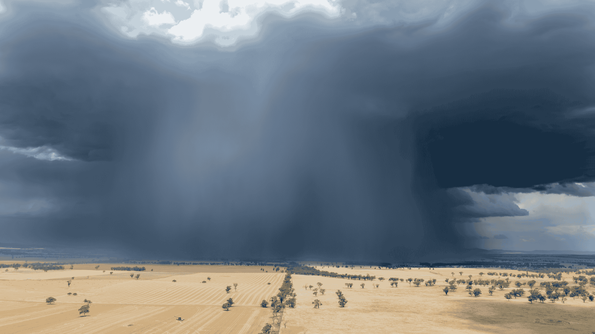
Settled conditions this week, drier outlook continues to build
It is a quiet weather week across the country, with a new large high moving into place, this leading to settled conditions this weekend and next...
May isn't likely to deliver much needed rainfalls, but things look slightly better as we go into winter and spring.
The Sea Surface Temperature Anomaly (SSTA) shows we have warm yellows in the Indian Ocean box, but there are warm yellows and reds near Australia, providing a source of moisture. The Pacific Ocean box was a cool blue over summer, and is now neutral, but there are warm yellows and reds near Australia, providing a source of moisture.
This map shows that we have plenty of moisture to play with.
Sea Surface Temperature Anomaly - how much warmer or cooler than average
In order to make it rain you need that moisture to feed low pressure - our lows, troughs and cold fronts. The Southern Annular Mode (SAM) is Positive, and has been for the majority of the last year. That stops cold fronts from coming up from the Southern Ocean, and can encourage high pressure to be dominant across the south blocking any low pressure from entering.
Southern Annular Mode (SAM)
This near continuous Positive SAM is one of the main culprits for the ongoing drought in much of the southeast. Troughs and lows work with moisture from the tropics to produce rain, but the high pressure blocks them from coming into the red areas:
Drought conditions over the past three months
May is essentially a write-off if you are after rain in the south. The modelling for the next few weeks indicates that high pressure is going to continue to dominate.
Next week brings rain to the east coast in onshore winds, and there is a bit of activity up north - not pushed into the south as high pressure blocks it.

Jane’s Weather provides hyper local weather forecasting based on the consensus of all the weather models, using Machine Learning and AI to calibrate the forecast to conditions at your farm. We include updates on temperature, rain and wind, along with evapotranspiration for efficient water usage, frost risk, growing degree days and a detailed spraying forecast customised for any property in Australia.

It is a quiet weather week across the country, with a new large high moving into place, this leading to settled conditions this weekend and next...

Another well timed upper low and trough working through a warm and moist airmass triggered by a positive SAM phase continues to headline the week of...
Great to see a nice full tank of moisture for much of SA and southern WA following a significant week of rainfall with a slow moving low pressure...