 Natasha Lobban
Livestock handling emerges as fastest-growing risk to farm safety
Livestock-related injury claims have surged 40% in the past year, emerging as one of the fastest-growing risks on Australian farms, as new data...

The Bureau of Meteorology (BOM) has reversed its controversial colour change on the rain radar and is promising more updates to come.
On Friday afternoon the default rain view in the new rain radar and weather map was changed so that colours appear as they did in the previous website.
The change comes after a string of complaints from across Australia after the national forecaster launched a new site last week.
The storm of discontent reached Federal Parliament this week, and Environment Minister Murray Watt stepped in to demand an immediate review.
BOM Acting Chief Executive Officer Peter Stone said Friday's backflip was part of the Bureau’s commitment to responding to community feedback, throughout the implementation of the new website.
“We've listened to your feedback, and have restored the previous radar colour scheme,” he said.
“We will continue to assess options for further updates and improvements at the same time as pushing on with our efforts to help the community become more familiar with the new website.
“So, more changes are in the pipeline.”
The map will display rain reflectivity (dBZ) as the standard setting, returning to a visual style many users said they found intuitive and reliable for interpreting weather conditions.
The rain reflectivity setting shows extreme rainfall and potential hail as very dark red or black.
Users will be able to choose whether they see their rain display as rain reflectivity (dBZ) or alternatively in millimetres per hour (mm/h), the latter being consistent with how rain is displayed on the BOM Weather app.
Meanwhile, the BOM released its latest long-range forecast on Thursday, with the report showing mixed rainfall expectations depending on location from November to January.
Rainfall is likely to be above average (60 to 80% chance) for northern Cape York Peninsula, south-eastern Queensland and much of inland NSW and below average (60 to 70% chance) for much of western and northern Western Australia, and central parts of the Northern Territory.
READ JANE BUNN'S LATEST FORECAST: An inch of rain set to spread across the southeast
Elsewhere, there is no clear signal for either wetter or drier conditions, meaning there are roughly equal chances of above or below average rainfall.
Maximum temperatures are likely to be above average (60% to over 80% chance) across most of Australia. For parts of coastal NSW, maximum temperatures have an equal likelihood of being above or below the average.
There is an increased chance of unusually high maximum temperatures (over 50% chance) in central Victoria, Tasmania, and northern Australia.
Minimum temperatures are very likely to be above average (over 80% chance) across most of Australia.
There is an increased chance of unusually high minimum temperatures (over 50% chance) across northern and eastern Australia, with the strongest chances across northern Australia (60% to over 80% chance).

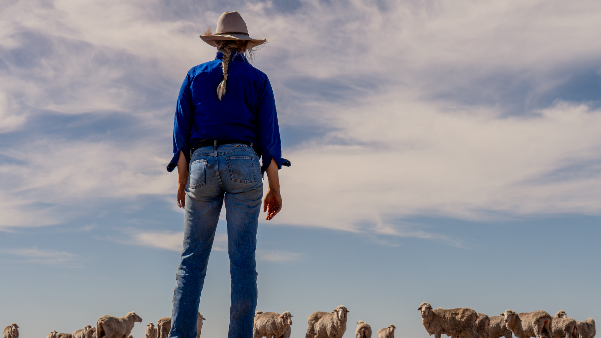
Livestock-related injury claims have surged 40% in the past year, emerging as one of the fastest-growing risks on Australian farms, as new data...
.png)
AuctionsPlus has partnered with the Australian Brahman Breeders Association (ABBA) to launch an industry-first dedicated Herd Bull selling platform,...
Paraquat and diquat will remain available for use after the Australian Pesticides and Veterinary Medicines Authority delivered its final decision on...