 Anyone ready for a break?
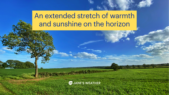
How about a fair bit of sunshine… and warmer temperatures to go with it?
A recent dip in a climate driver called SAM sent Antarctic air barrelling up into southern QLD, leading to freezing conditions at the Melbourne Cup and out of season snow on the ranges.
Other climate drivers indicate that we will continue to be majorly influenced by the oceans around us for the rest of the year, pushing moisture towards Australia. When that meets up with low pressure it is turned into heavier than usual rain.
We’ve had a lot of these lows move through, and when the ground is already soaked and dams are full, there isn’t anywhere else for all that water to go, leading to widespread flooding.
Now we’re heading into a stretch where high pressure is in control.
At the end of this week a large high should move across southeastern Australia. Over the weekend it settles in along the east coast and over the Tasman Sea.
This movement means anyone to the west of the high (ie most of central and eastern Australia) is introduced to a warmer airmass.
We haven’t seen this in the weather pattern for quite a while.
In a dry year, this scenario would lead to an extended heatwave. The dry land would bake in the relentless sun, and the high would encourage hot northerly winds. This year the soggy land can’t bake, and instead it brings temperatures of 25C rather than 35C, or 30C rather than 40C.
There is one exception… the east coast.
The high’s positioning means the east coast is in an onshore airflow. This keeps the air mild rather than warm (for November), and it lets the odd shower through. Nothing big or heavy, just a millimetre or two here and there. The warmer temperatures and generally sunny skies are inland and across VIC/TAS.
Make the most of the break, as the climate drivers indicate that the lows will come back, creating further rain and flooding… but for the moment we can use this time to get much needed work done… if the water recedes enough to get out into the paddock.
Head to Jane’s Weather to see the day-by-day details on what the weather models are projecting for any spot in Australia.
The guidance shows a bit of activity over inland QLD/NSW and northern VIC over the weekend and early next week. That is only the slight chance of very isolated shower or storm activity. Overall, the pattern is encouraging an extended period of warmer and generally sunny.
Sign up for alerts at Jane’s Weather below to stay ahead of what rain is on its way.
Our alerts cover the overall weather forecast, plus: rain and snow, frost risk, good spraying conditions, hot and cold temperatures, heat stress and wind chill, and more, tailored to any property in Australia.
 Results

